EN
EN


Tour
Multi-stage Hike: Hocheifel Panorama Trail (Adenau - Insul)
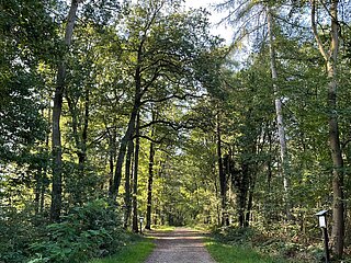
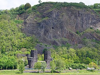
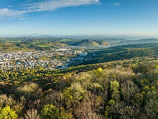
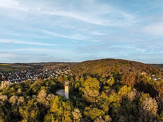
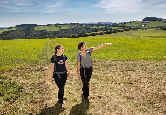
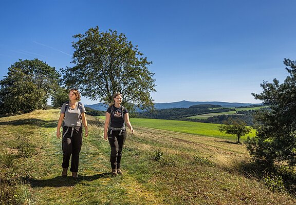
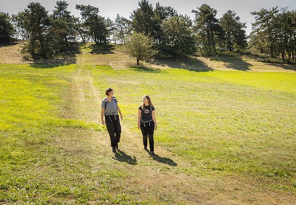
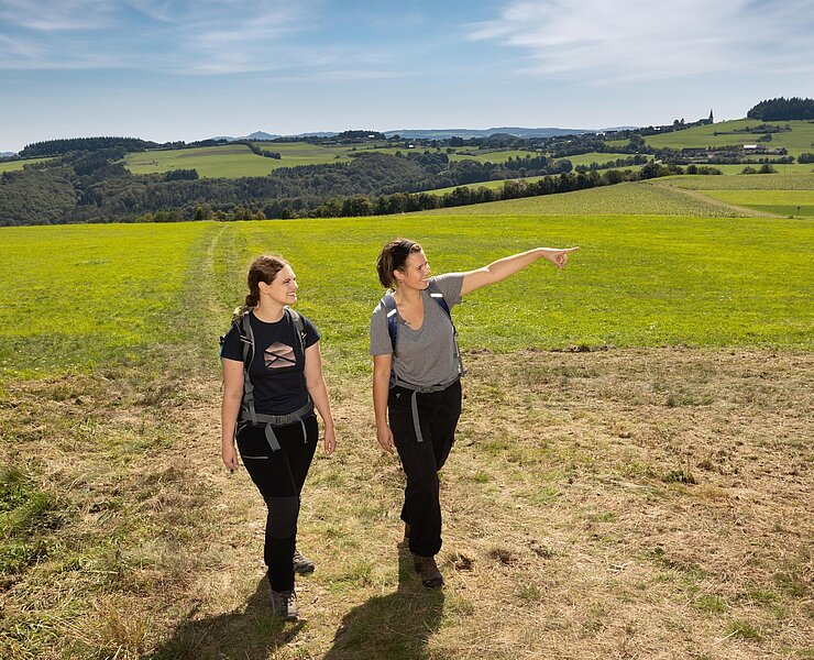
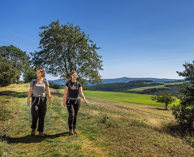
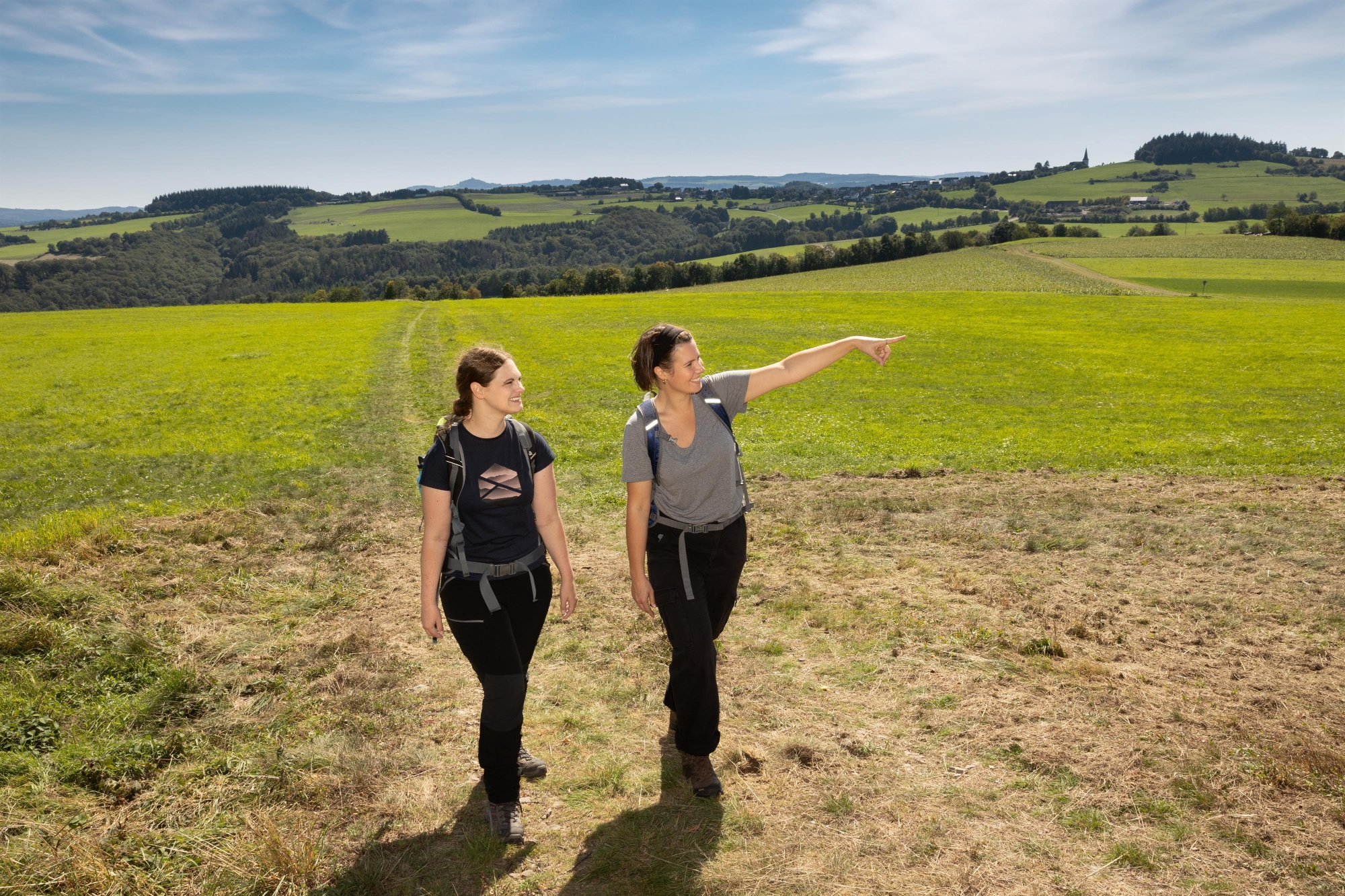
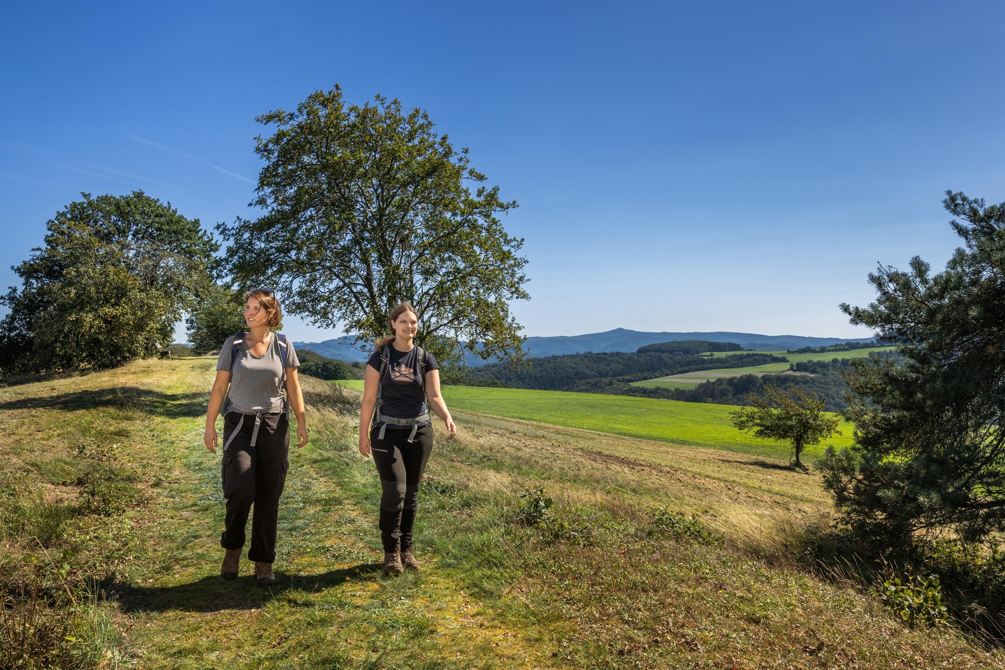
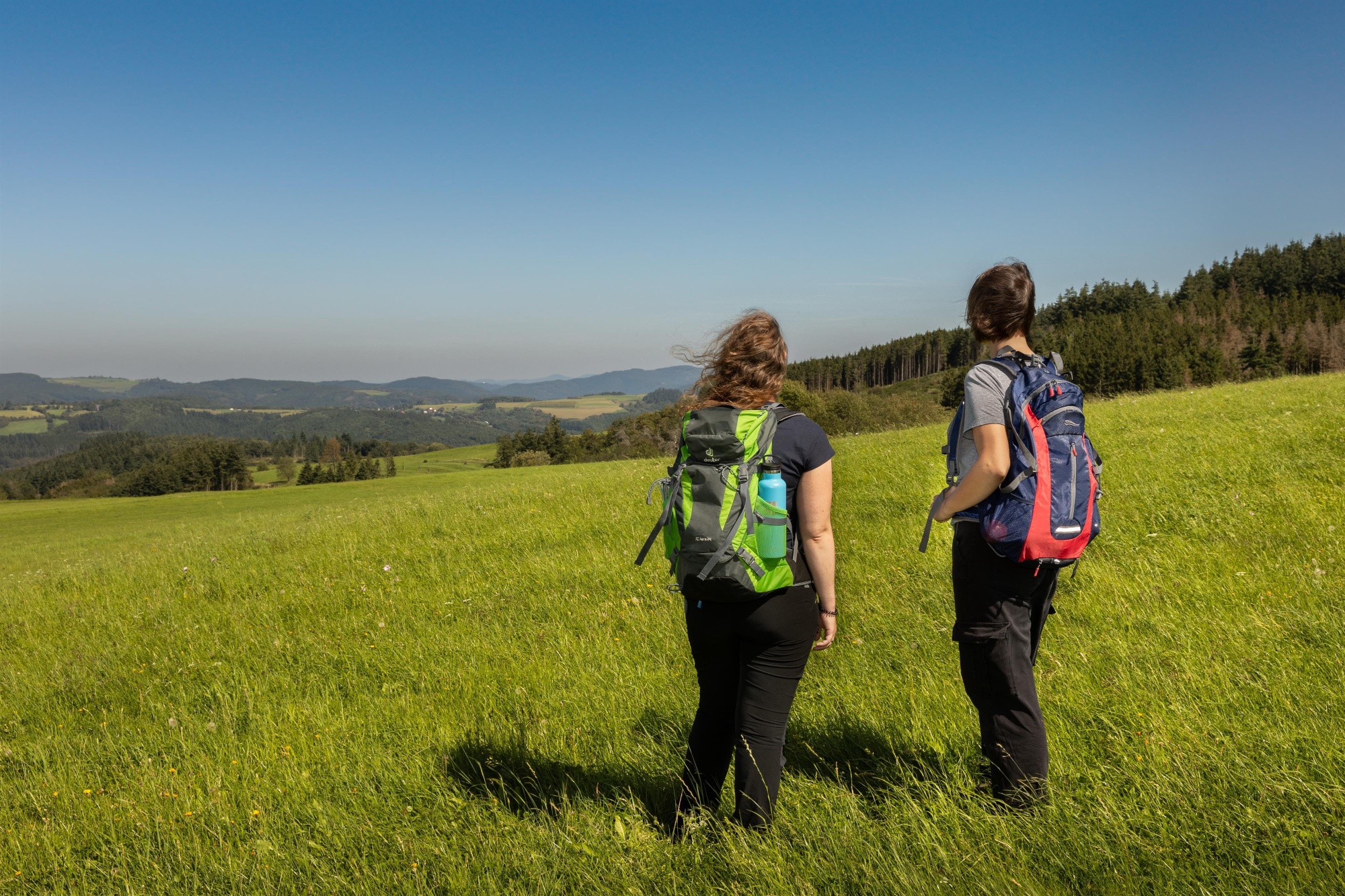
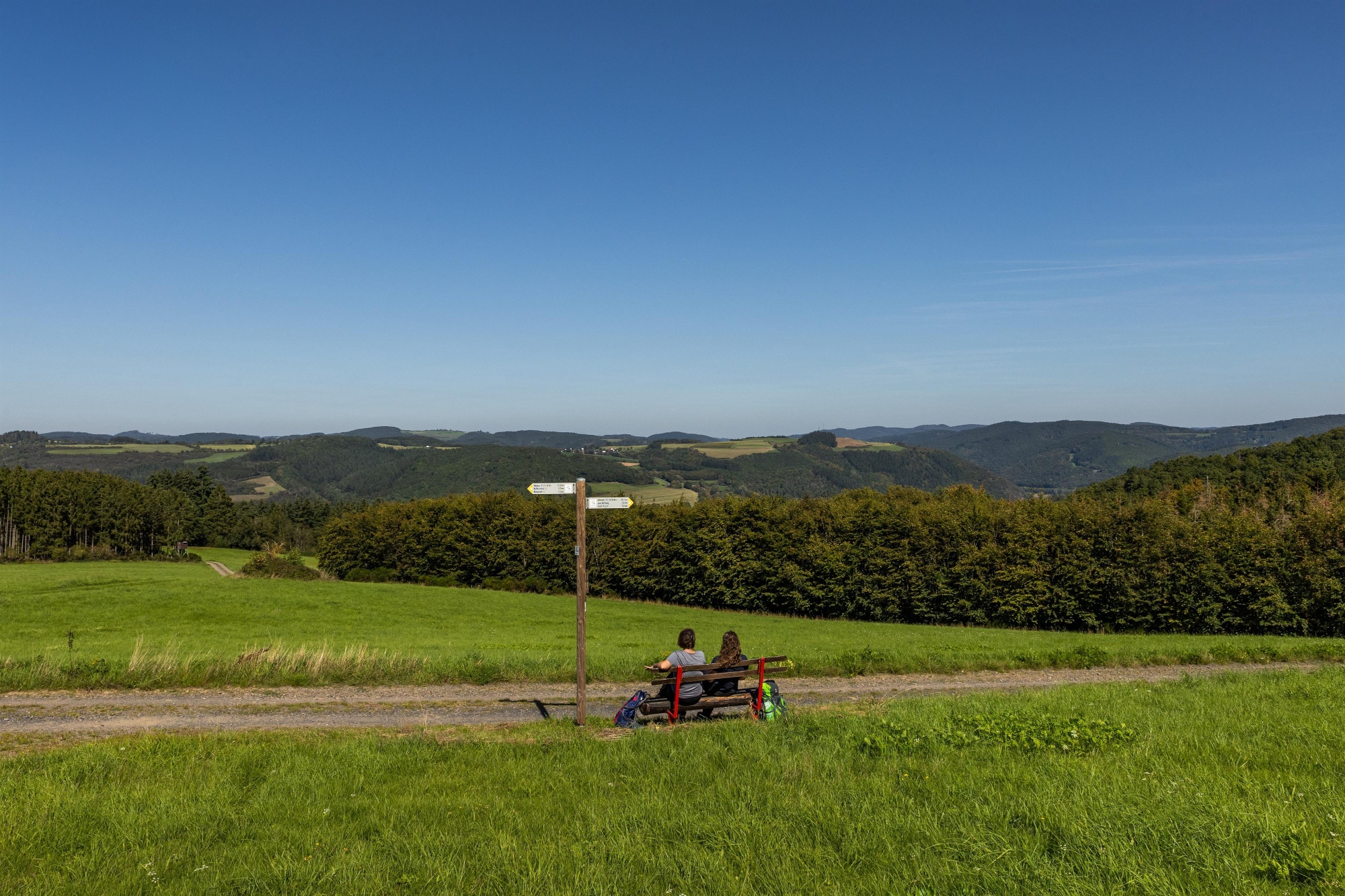
The imposing Aremberg already looms ahead of us, a mighty testament to the volcanic past of the Tertiary Period. Magnificent panoramic views stretching from the Winnerather Höhe to the Siebengebirge enchant hikers until the trail winds back down through the dense deciduous forest into the valley toward the tranquil Eifel village of Insul.
Highlights along the way:
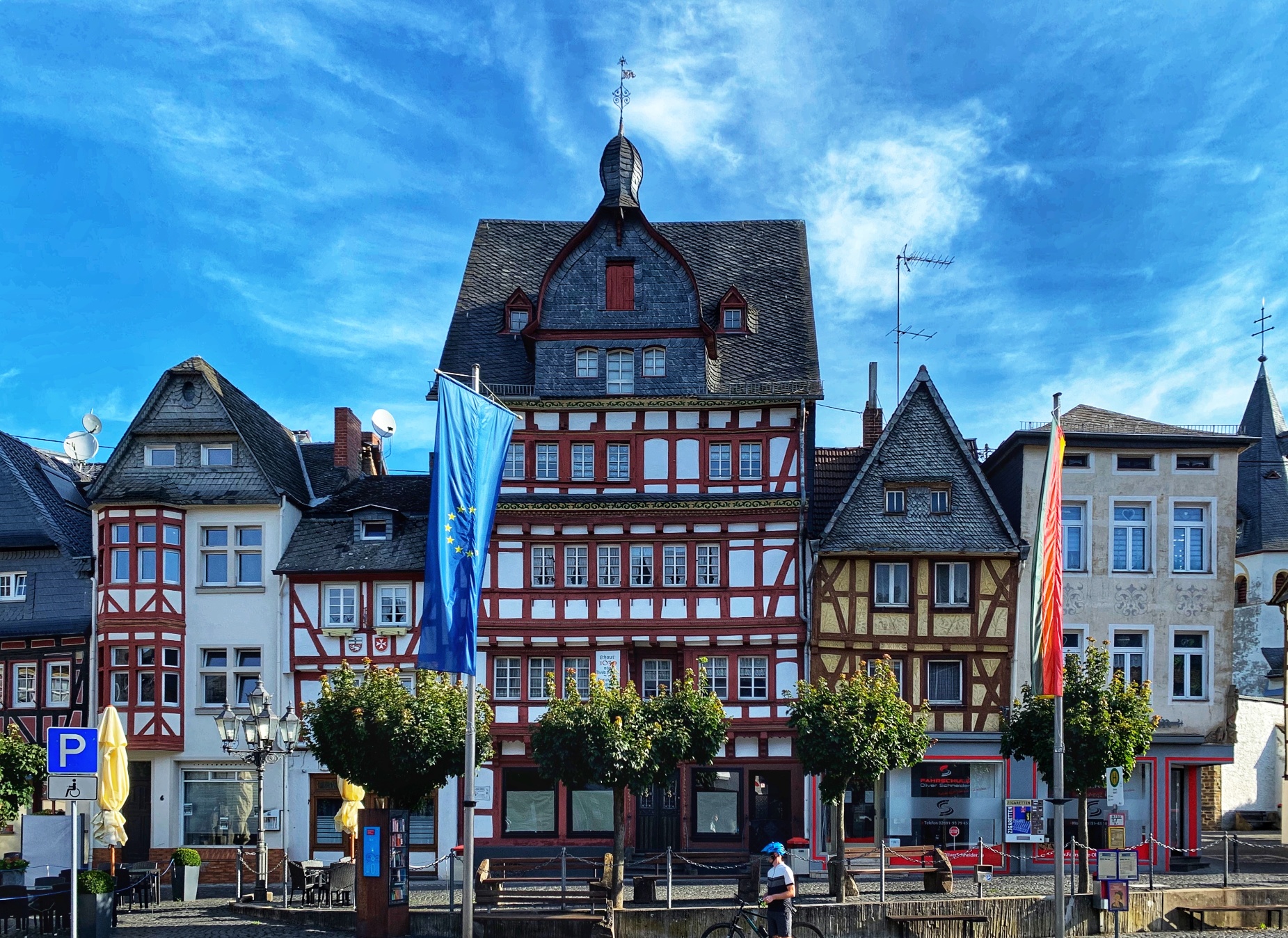
- Historic market square in Adenau
- Panoramic view | Hürstnück Nature Reserve
- Panoramic view | Wildlife reserve near Winnerath
- Panoramic view | Winnerather Höhe
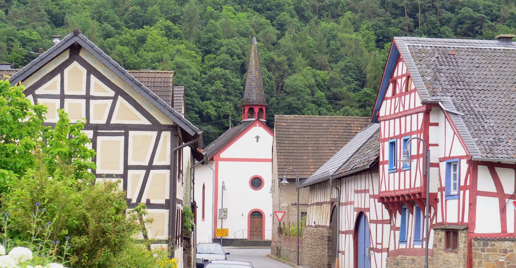
- Insul Town Center with Historic Half-Timbered Houses
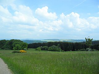
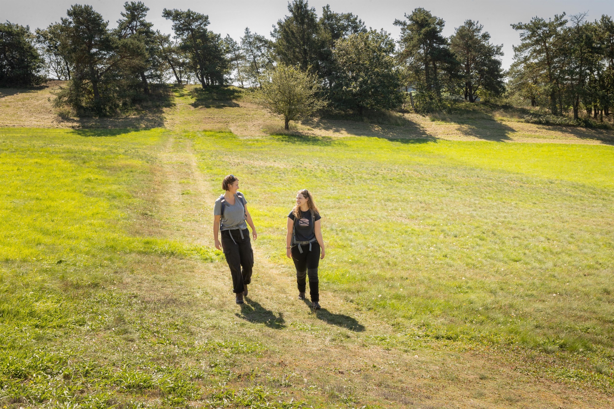
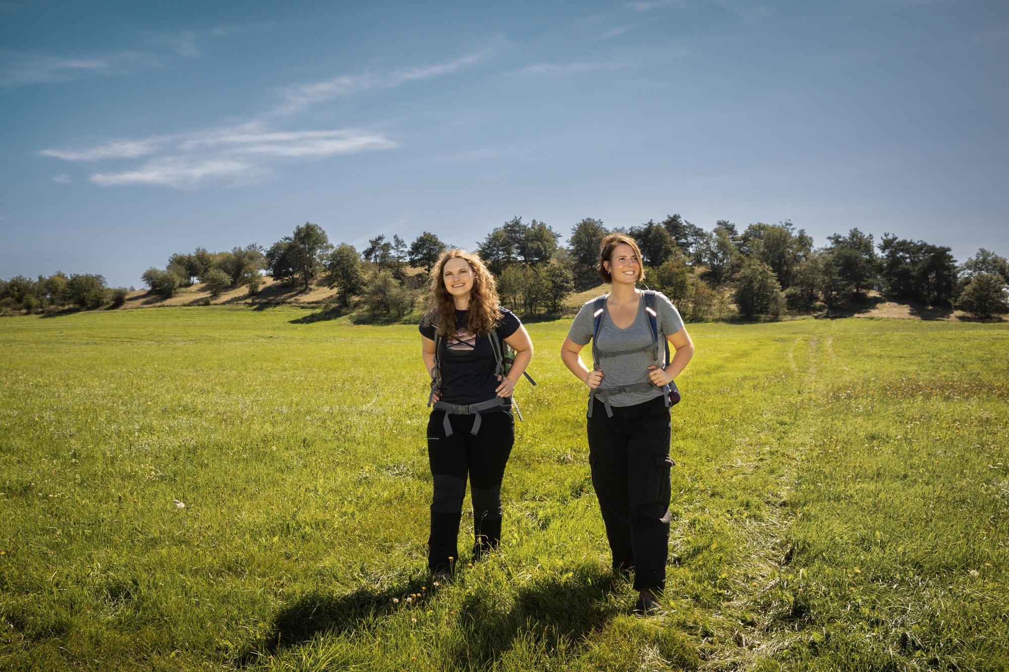
After about 200 m, we follow the left curve and, after 400 m, leave the paved road to turn slightly left onto a meadow path. We follow this path for 500 m before taking a sharp left at the end; after 200 m, we follow the sharp right curve and walk straight ahead for 200 m. We turn left at a 90° angle and hike 500 m straight uphill between fields and meadows to the Hürstnück hill. On the ridge, we first head left and, shortly past the bench, turn right again downhill, passing the small grove on the left; at the next fork, we turn right again, and after 100 m, the route veers left to lead straight on to Winnerath. Once we reach the outskirts of Winnerath, we turn left onto Martinsnück Street. At the next intersection, take a sharp left and then another sharp right onto Kapellenstraße until we reach the town limits. Here, continue along the paved road. After 1.3 km, turn left into the forest. We follow the forest path straight ahead for about 2 km and then follow the sharp left turn further downhill through the forest toward Insul. Upon reaching the outskirts of the village, we first turn right until, after 300 m, we turn left again onto Kapellenstraße back to the starting point.
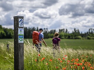
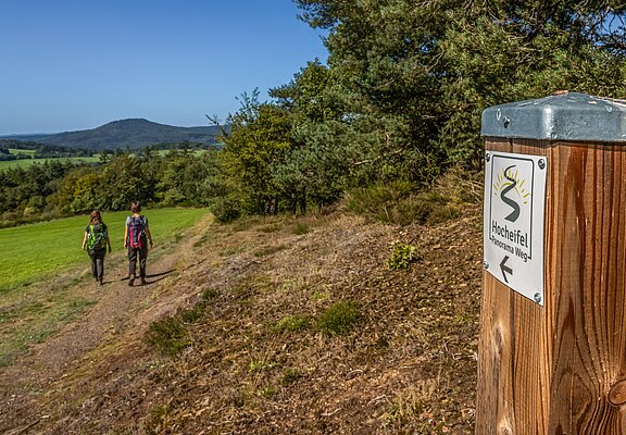
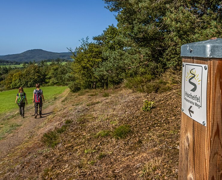
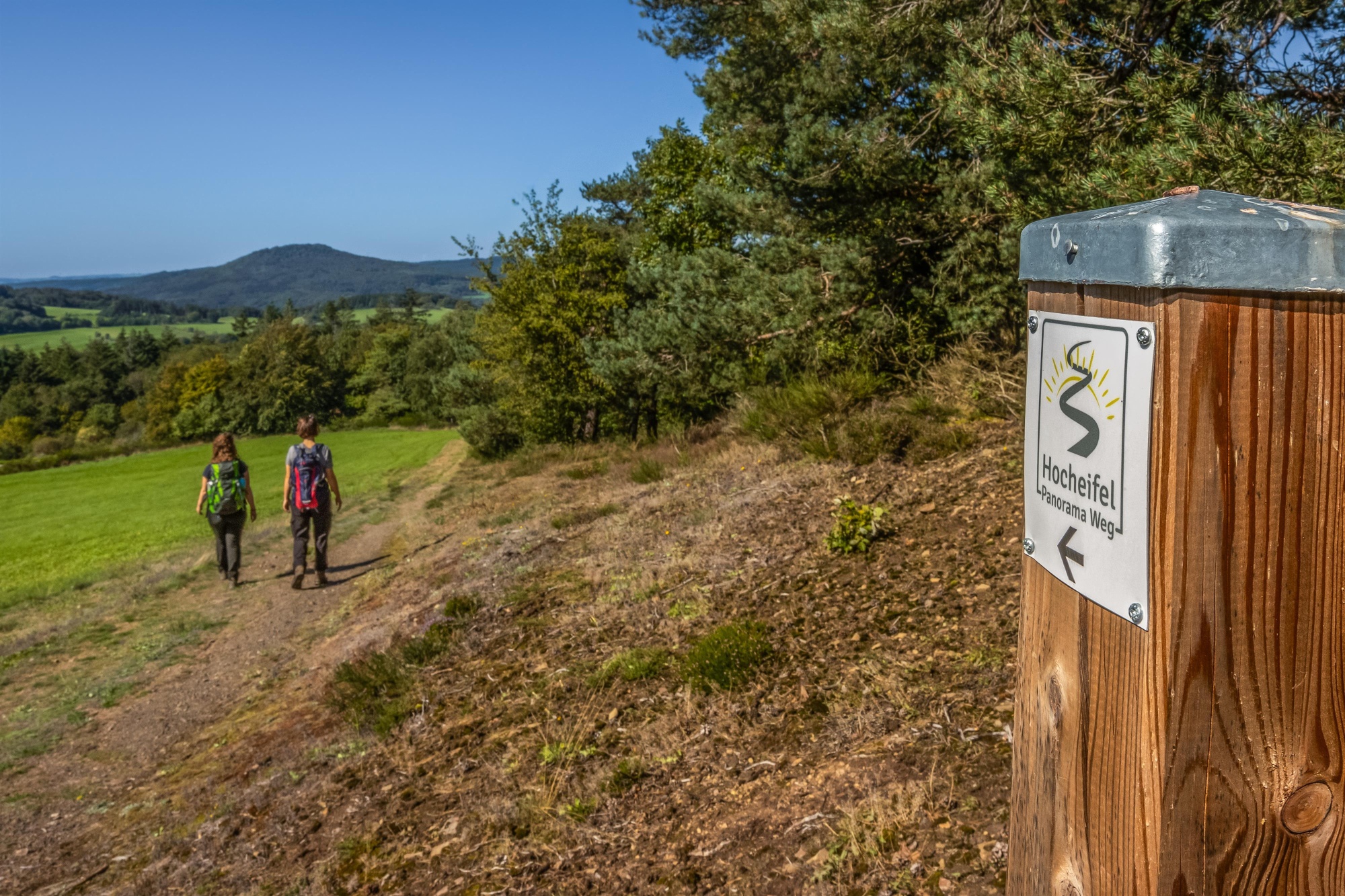
The route is signposted throughout with the trail logo and can also be hiked in the opposite direction. Public transportation connections on weekdays are available via Line 865 between Insul and Adenau www.vrminfo.de
- ZG Vielseitig Aktive (L)
- ZG Aktive Naturgenießer (L)
- ZG Kultur- und Landschaftsliebhaber (L)
- ZG Nur Wanderer (L)
- Route tour
- Hiking trail
- Hiking

source
tourist-information-hocheifel-nuerburgring
·
Author:
Daniela Schmitz / Tourist-Information Hocheifel-Nürburgring