EN
EN

Tour
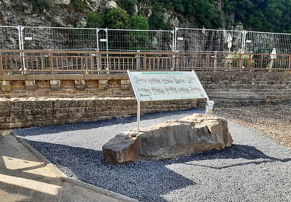
Circular Hiking Trail No. 5 (Schuld-Wershofen-Schuld)
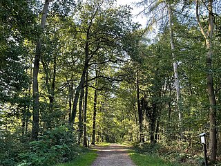
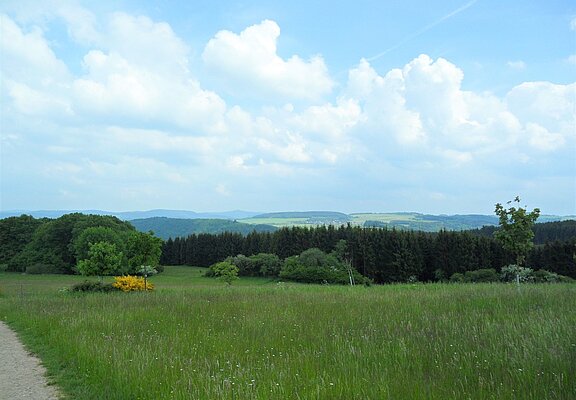
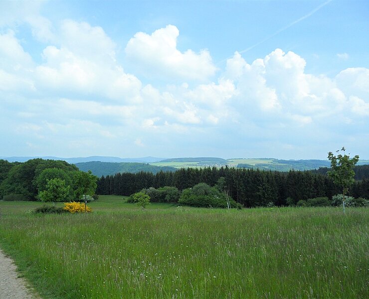
Numerous benches and loungers allow hikers to take short breaks and lose themselves in the wild and romantic landscape of the Hocheifel.
Highlights along the way:
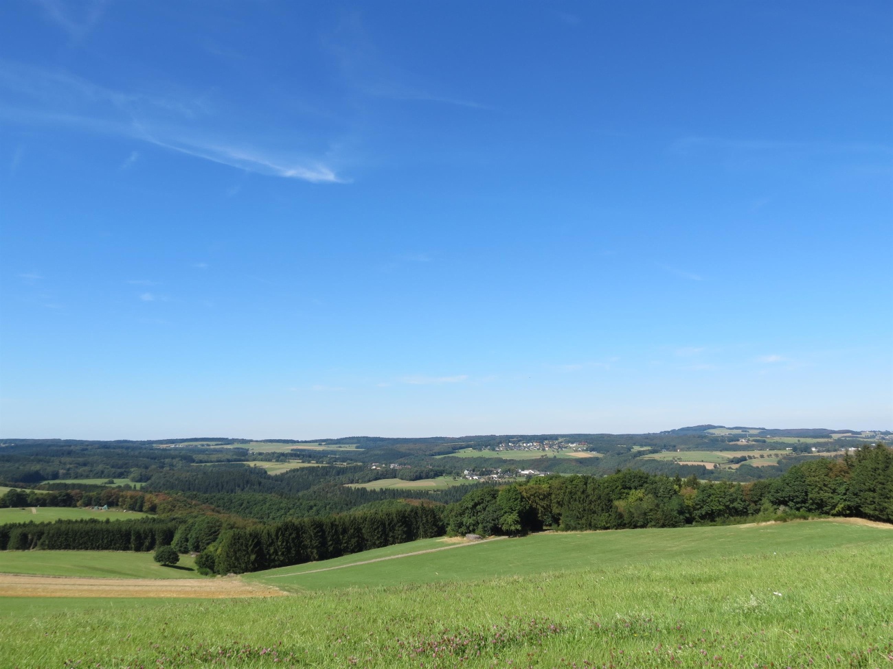
- Panoramic view from Kottenborner Kreuz
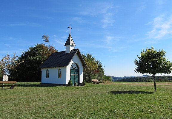
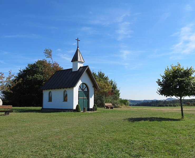
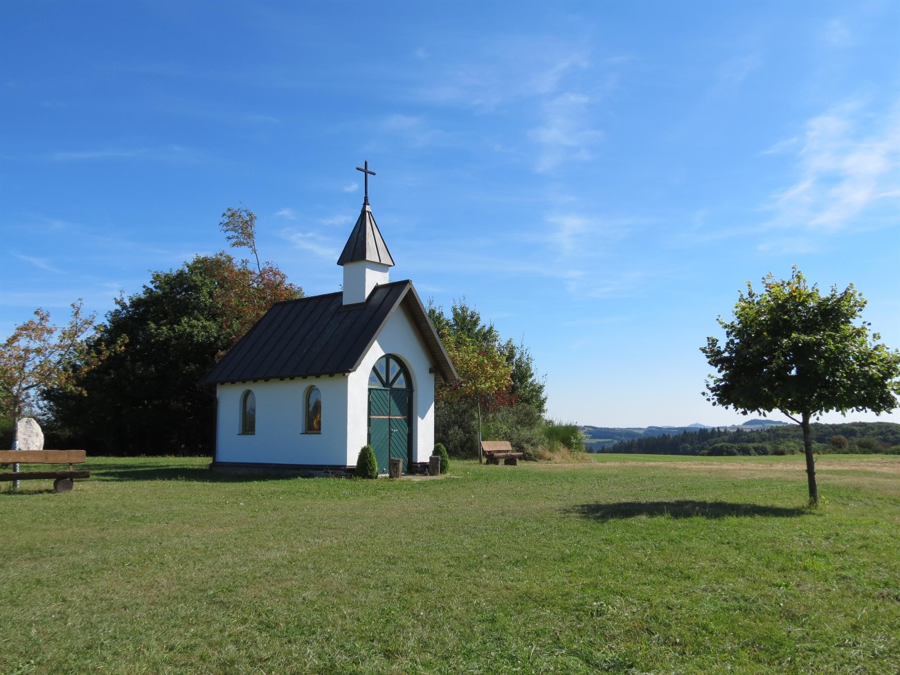
- Kottenborner Chapel
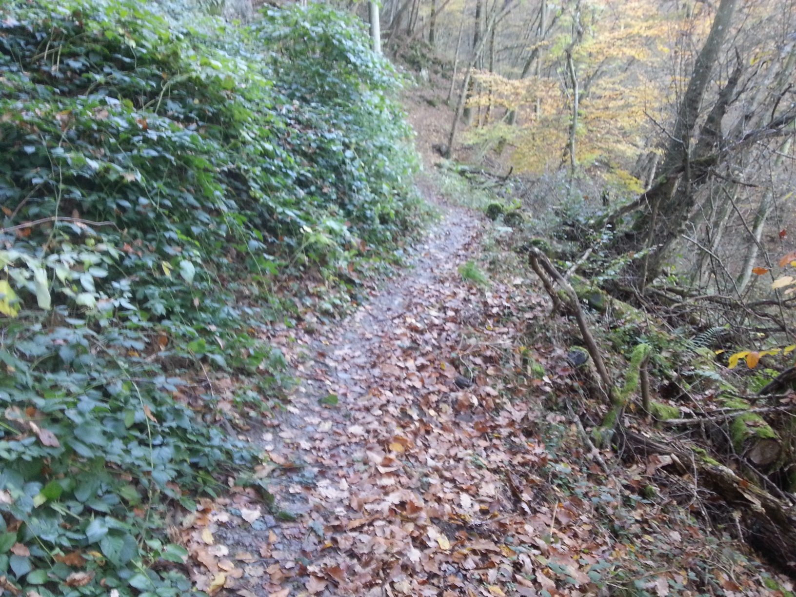
- AhrSteig section: Jägerpfad
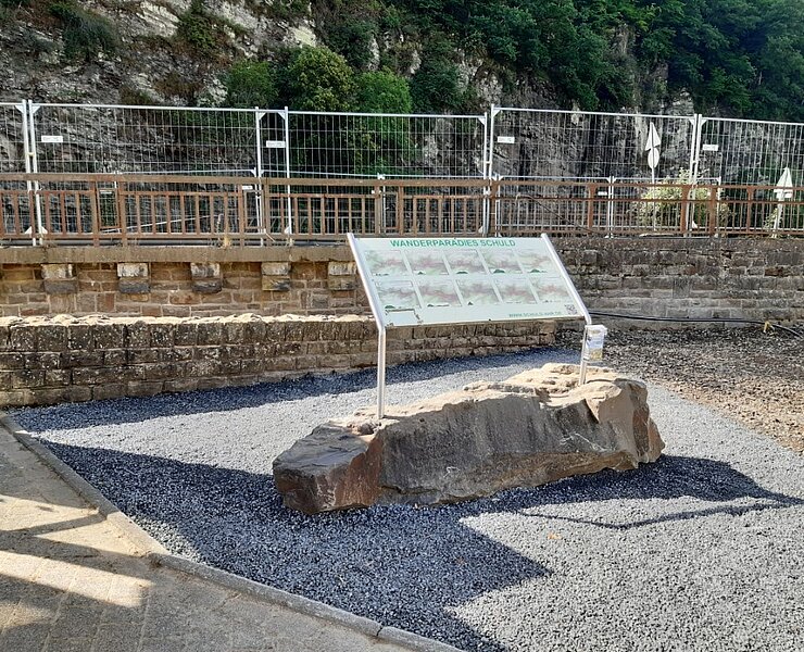
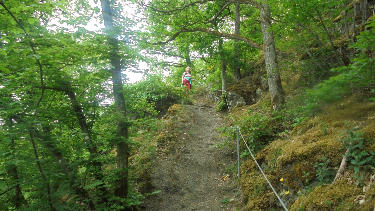
At the start, we follow Ahrstraße for a short distance into the “Deistig” district and then turn left onto Martinsstraße. After 140 meters, we come to Bergstraße, which we follow straight ahead until the next junction. Here, we turn left onto Martinshöhe. We follow Dorfstraße uphill until, about 500 m after a sharp left turn, we continue straight ahead along a meadow path to the edge of the forest. Now we climb steeply up a narrow trail between the forest edge and the meadows. At the top, we follow the path straight ahead through the so-called “Branderhardt, ” a slope strewn with scree and boulders that we hike through.
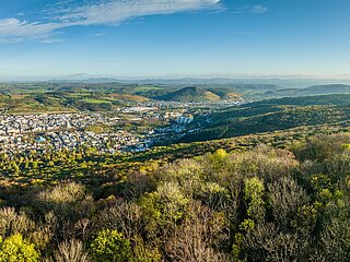
From here, you can see the “Bahnhof” district. In the center, all that remains of the once-large train station is the station building. Above the meadows runs the AhrSteig trail, which we’ve already encountered. Following the trail past a few weekend cottages, we come to a solitary wooden house and a path, which we follow to the left toward the intersection.
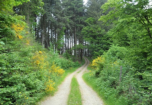
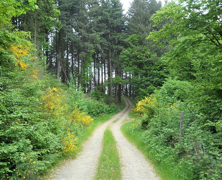
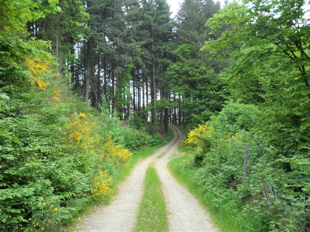
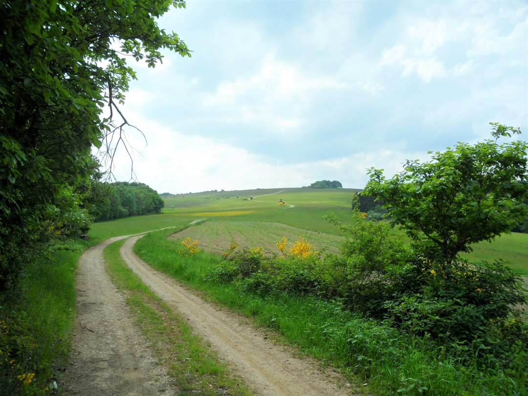
! Caution ! Here we must cross Münstereifeler Straße. On the other side, we keep to the left at first, then turn right over the small bridge and follow State Road 73 toward Antweiler. After about 250 meters, we turn right onto the path “Auf Weiher,” which we follow past a few houses. After about 300 meters, following a right-hand curve, we walk about 3 km uphill along a steadily ascending forest trail. The trail first takes us through mixed forest and later through a beautiful fir forest, heading uphill toward Wershofen.
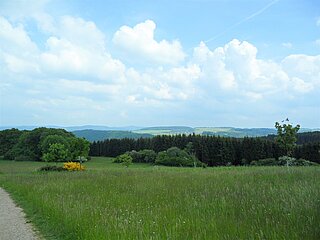
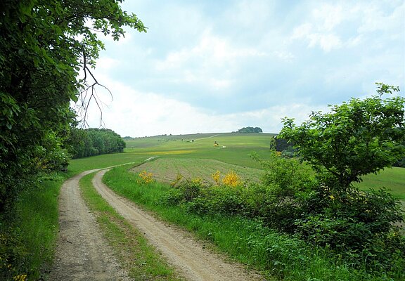
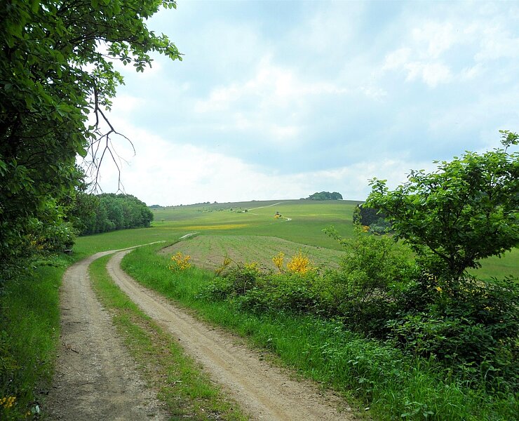
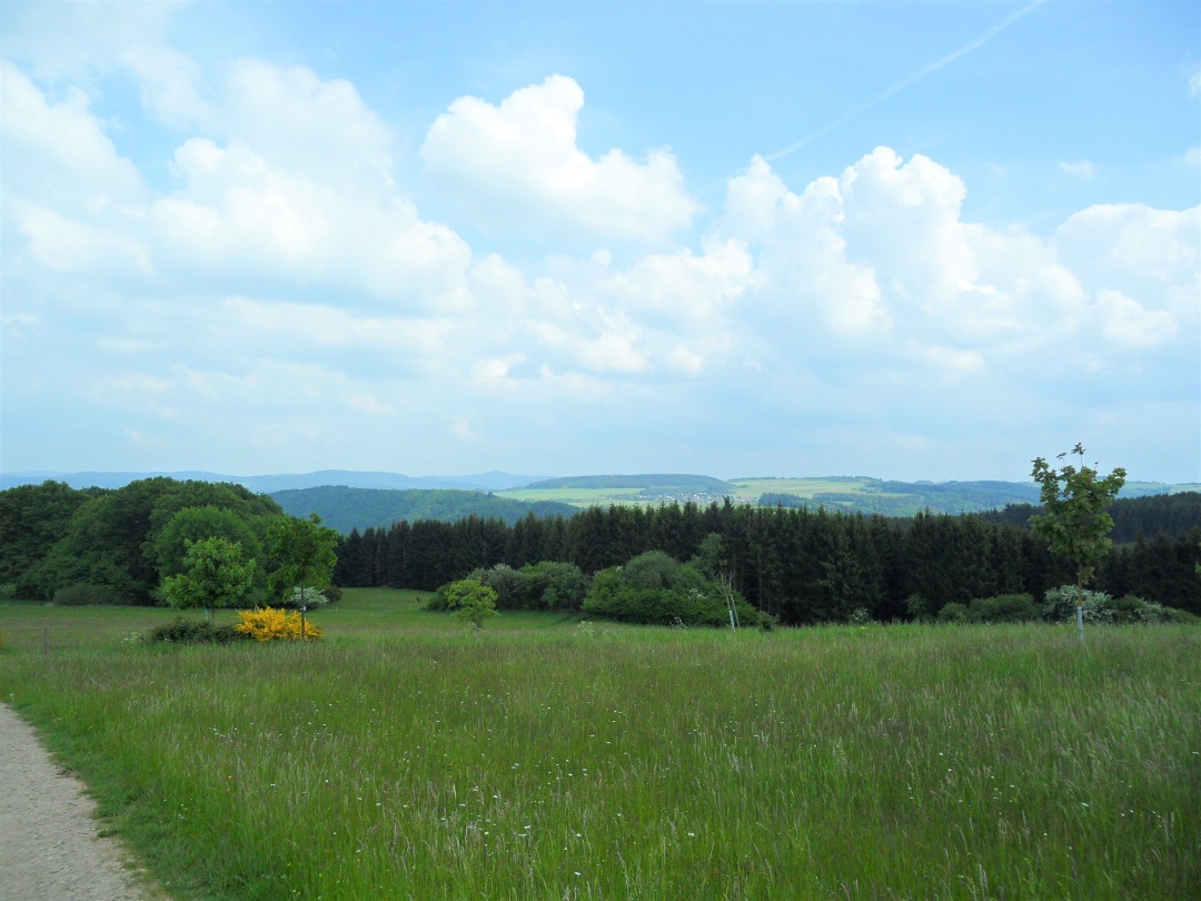
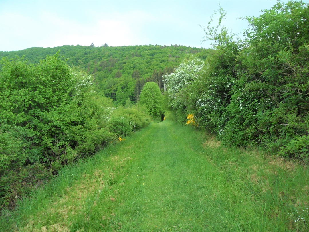
After a short, steep stretch, we reach a cross path, which we follow to the left. After about 200 meters, we leave the forest and hike past meadows and fields along a high-altitude trail with a magnificent panoramic view. About halfway along this path, our route branches off to the right and leads us up Kottenborner Berg, which, at 494 m, is the highest point of our hike. Up here stand the Kottenborner Cross and the Kottenborner Chapel, which invite us to take a short break. From here, we have a fantastic panoramic view. This is not to be missed.
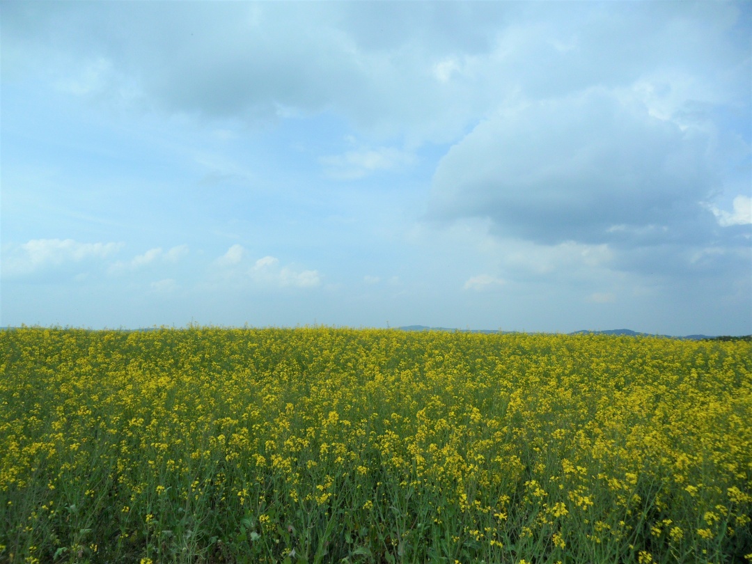
After a leisurely break, we leave the chapel and follow the trail downhill for a short distance until we reach a fork in the path, where we come to a paved farm road. We turn left and follow the path for one kilometer. Where the paved road ends, we reach a crossroads, which we cross. We are now on a meadow path that we follow downhill, always skirting the meadow. At the end of the meadow, which is surrounded on three sides by a fir forest, the Kottenborner Hof once stood. Here we turn right and walk past a wildflower field toward a crossroads, which we cross straight ahead. We now follow the path down into the valley until we reach the county road leading to Wershofen.
Passing this road, we continue to the left until we reach the L73 at the bridge. Along the way, we’ll encounter the AhrSteig, which joins the road from the right. We now cross the bridge and then hike on the other side, following the AhrSteig past Streitenau until we arrive back at the starting point in Schuld.
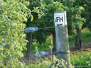
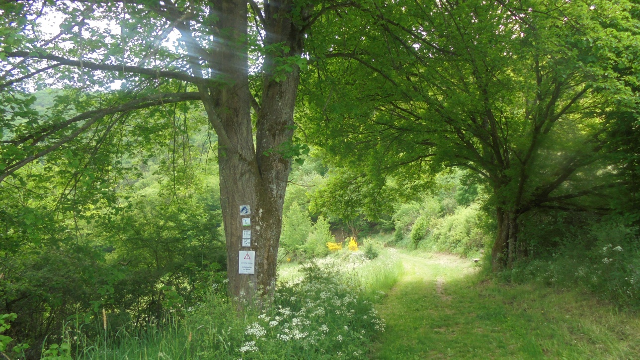
The route is consistently marked in one direction with the trail logo for Circular Hiking Trail No. 5 Schuld.
- Round trip
- Hiking trail
- Hiking

source
tourist-information-hocheifel-nuerburgring
·
Author:
Daniela Schmitz / Tourist-Information Hocheifel-Nürburgring