EN


Tour
Multi-stage Hike: Hocheifel Panorama Trail (Insul - Adenau)
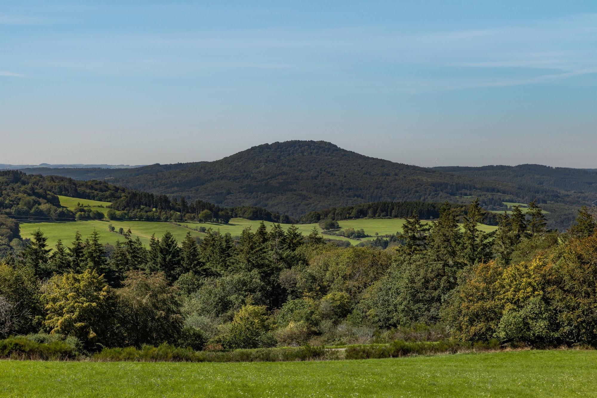
Just before the mountain village of Winnerath , sika deer of all sizes graze peacefully and can be admired in the wildlife enclosure. Soon, the imposing Aremberg comes into view: a massive testament to the volcanic past of the Tertiary Period.
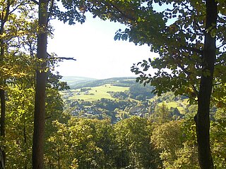
In the Hürstnück Nature Reserve, with its rare heathland and nutrient-poor grasslands, the Hohe Acht and the Nürburg Castle ruins stand out strikingly on the horizon, shaping the landscape of the wild and romantic High Eifel.
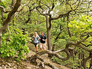
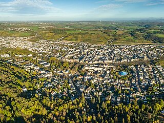
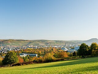
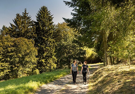
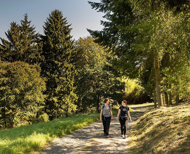
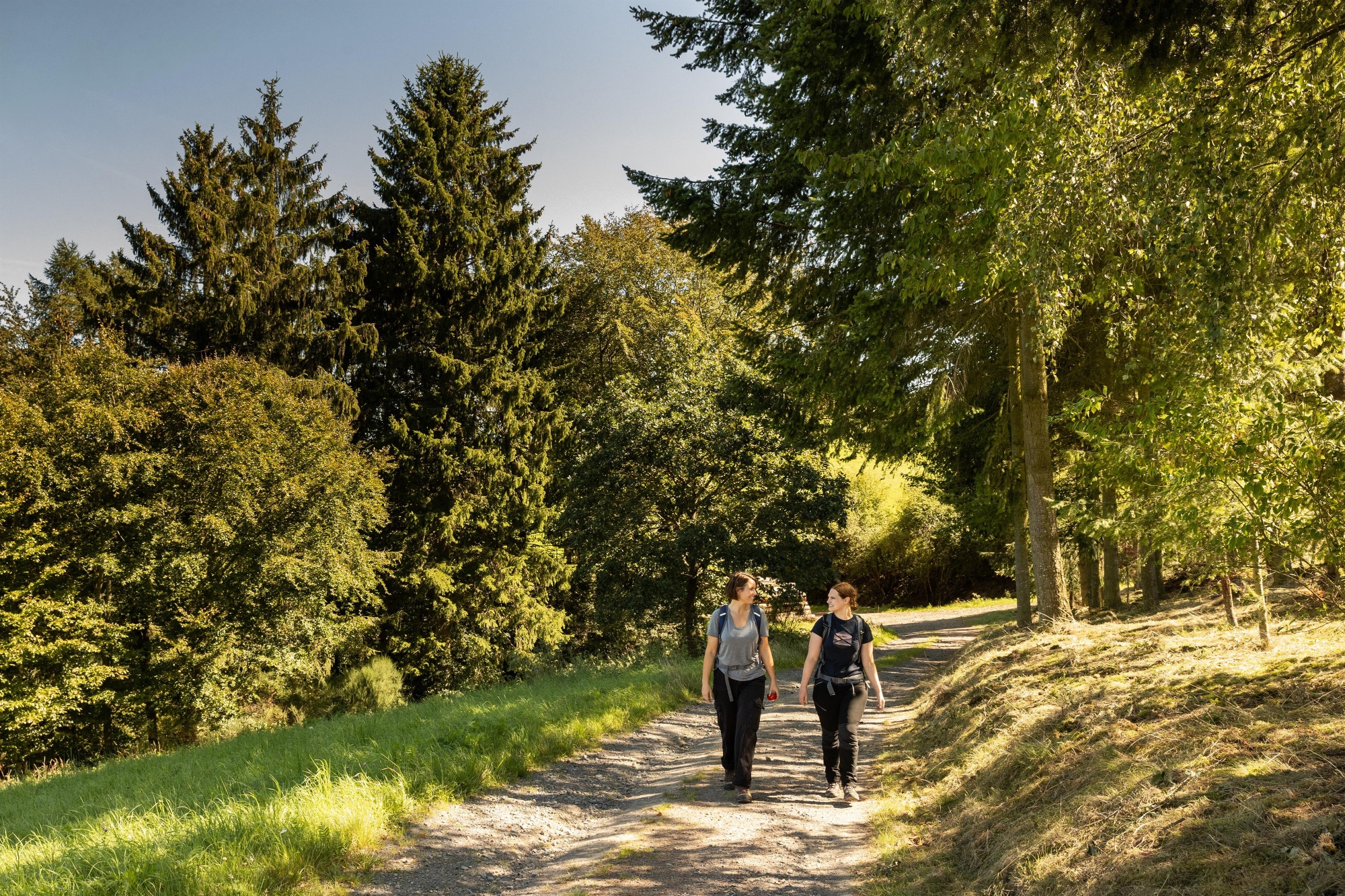
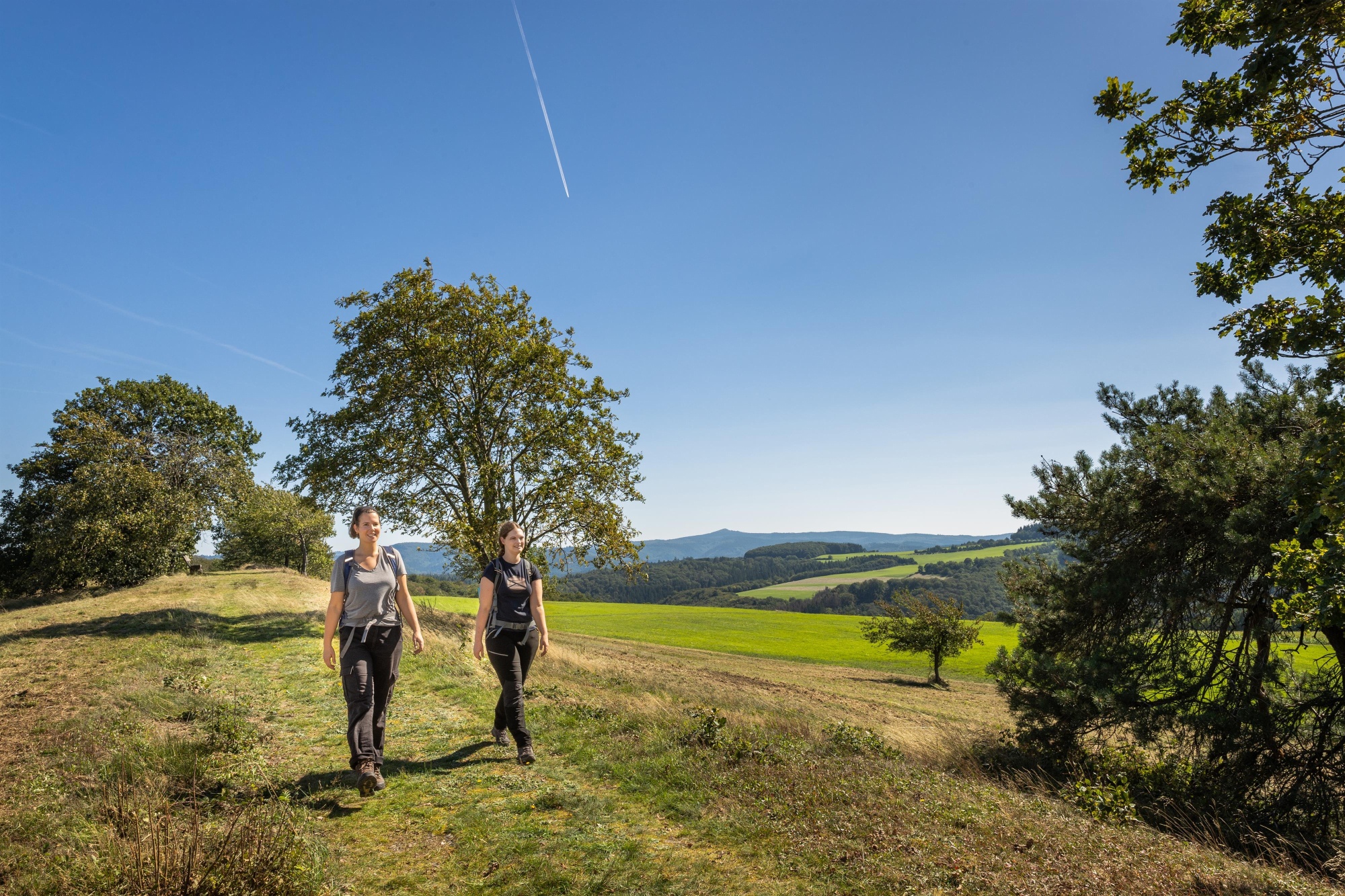
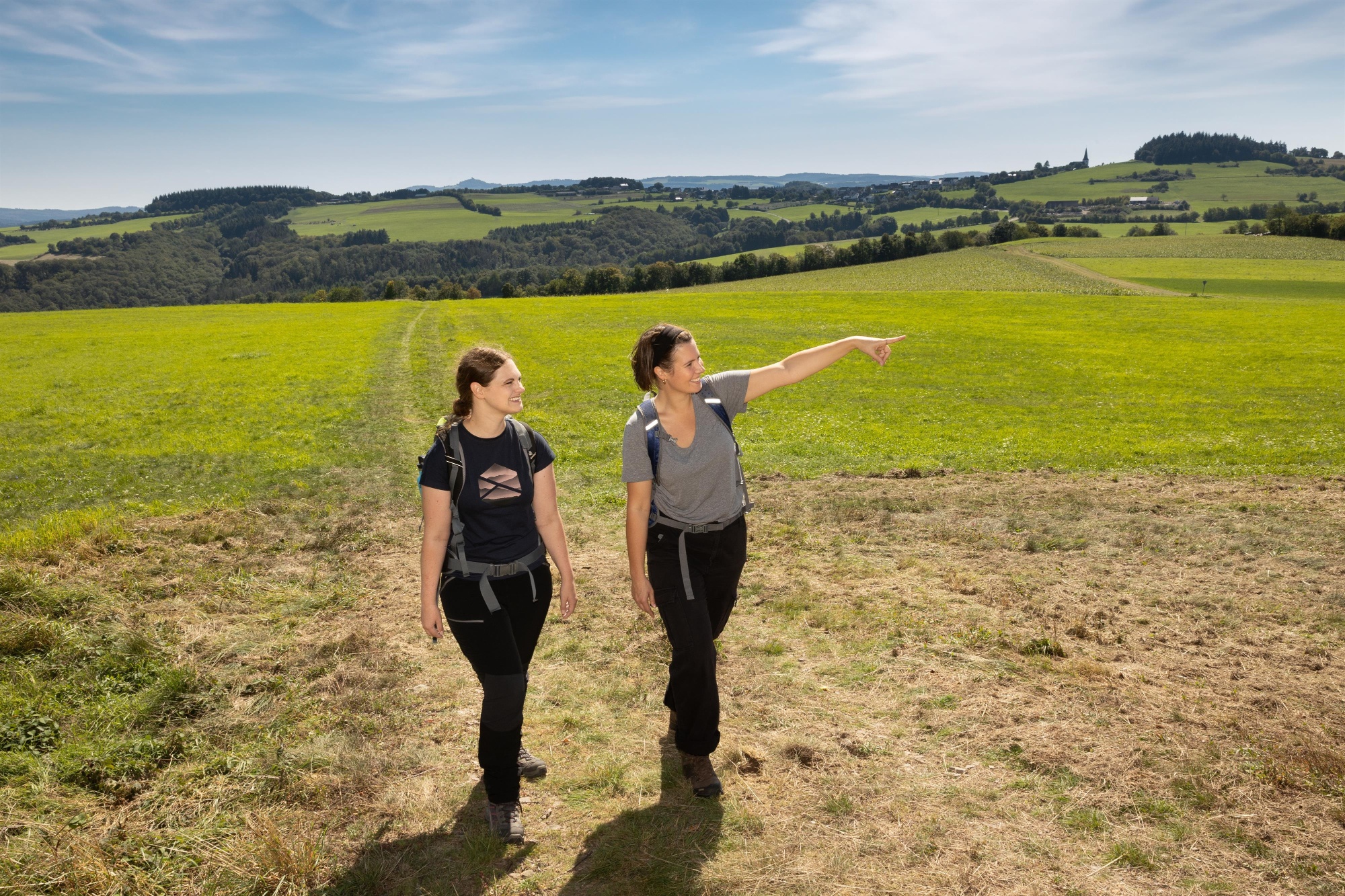
Winding through fields and meadows over the Reifferscheid ridge, the trail gradually leads back through the dense forest into the idyllic valley and on to the picturesque little town of Adenau.
Highlights along the way:
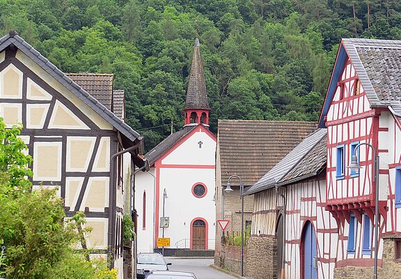
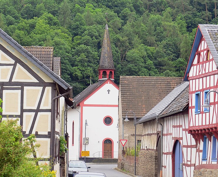
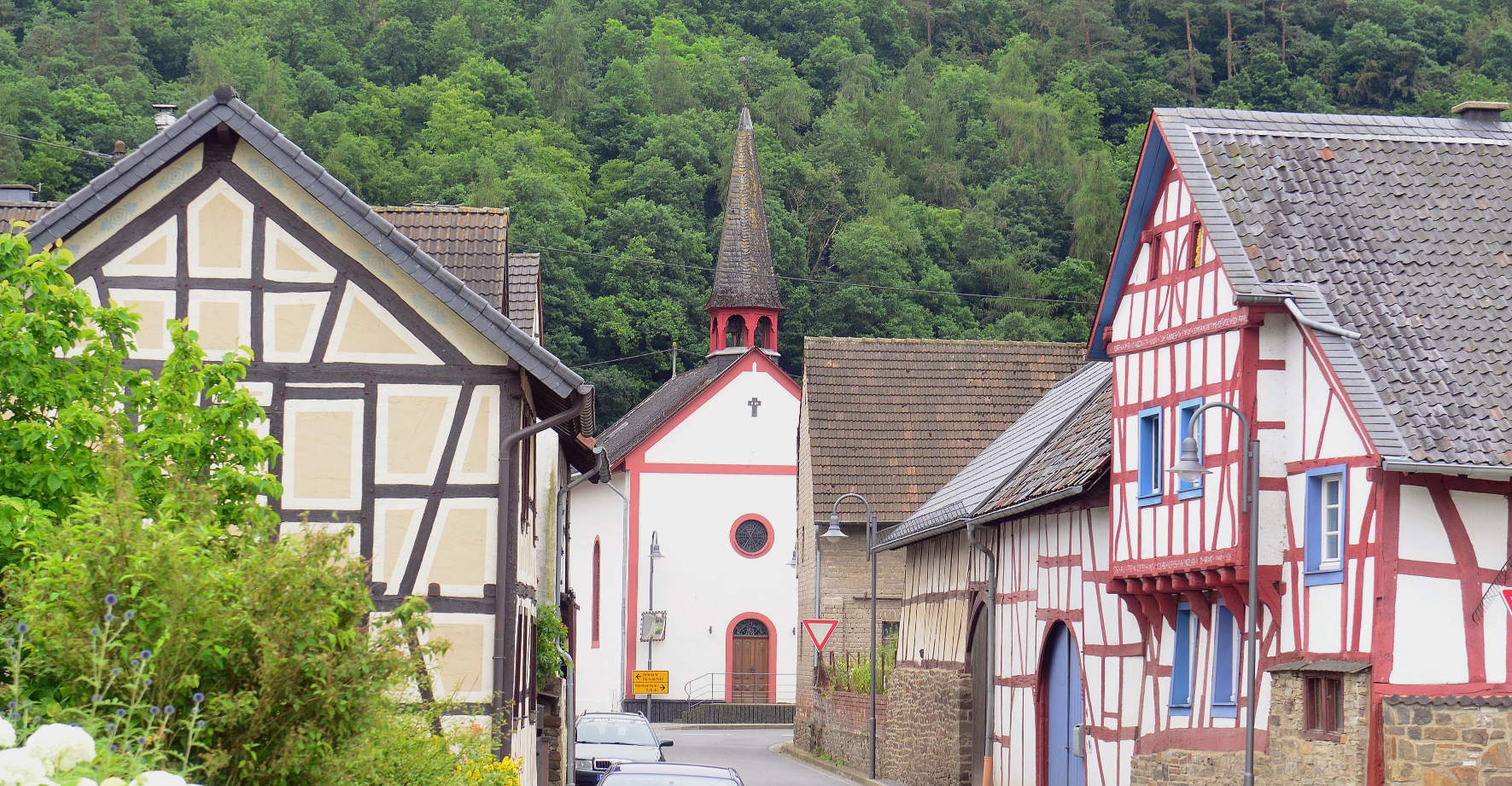
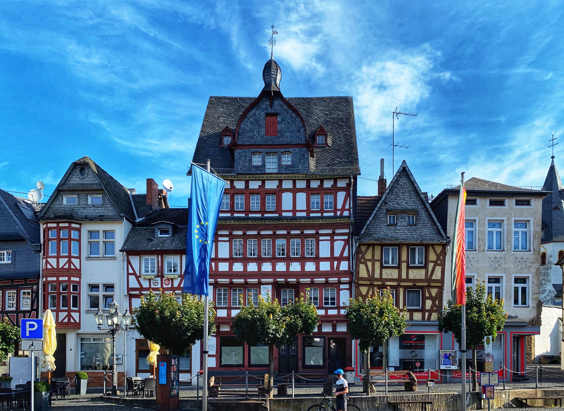
- Insul town center with historic half-timbered houses
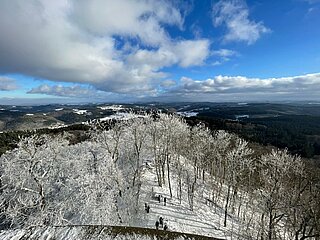
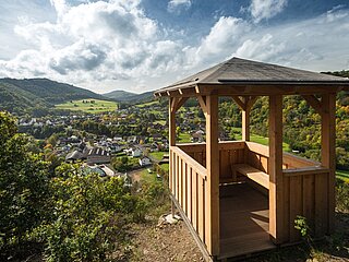
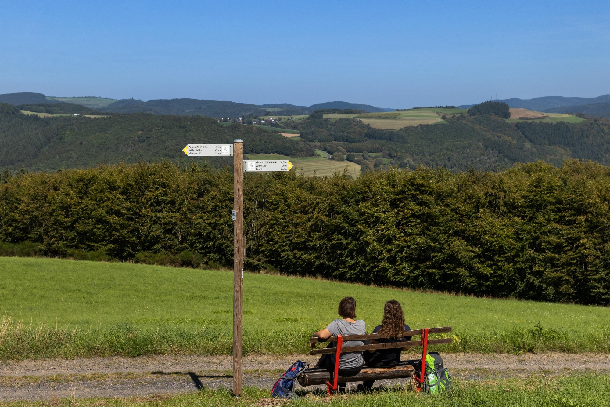
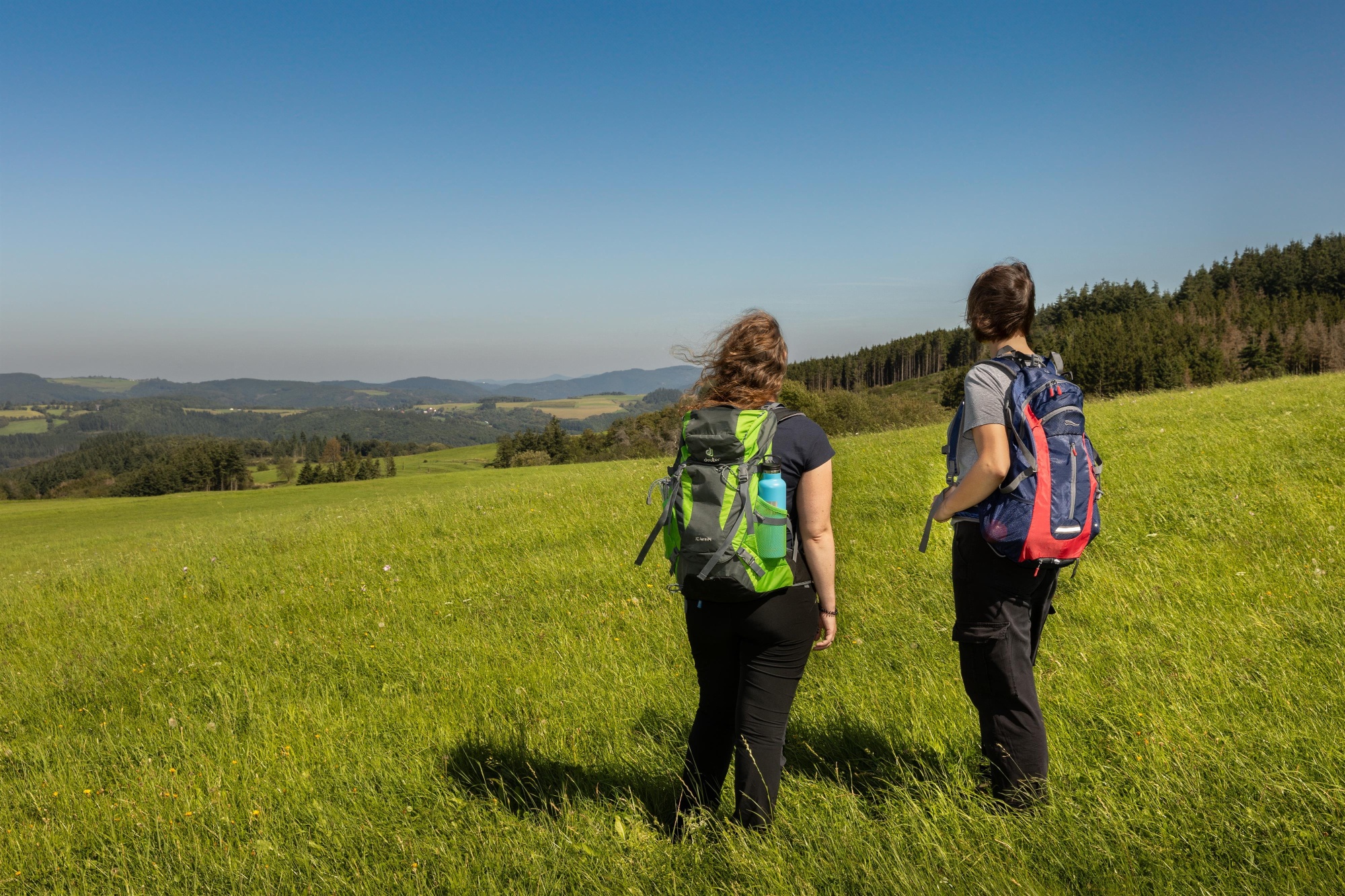
- Panoramic view | Winnerather Höhe
- Panoramic view | Wildlife reserve near Winnerath
- Panoramic view | Hürstnück Nature Reserve
- Historic market square in Adenau
At the next fork, we turn left onto Euskirchener Straße, then immediately left again onto Ellerstraße. At the next fork, we follow Ellerstraße to the right and, at the end of the street, turn left onto the path “Am Knopp.” At the next opportunity, we turn right again onto Waldstraße. After the sharp left turn, the path continues downhill. We follow the forest path for about 850 m and then turn left. Here, the path descends steeply for about 400 m until we turn right to cross a small bridge. After 750 m, turn left briefly and then take the next right. Follow this path, passing the Leimbach transshipment station on the right until you reach the wayside shrine on the left. Here, we turn sharply right onto the paved path, cross another small bridge, take the next opportunity to turn left, and continue for just under 100 m between the fishing ponds. Then turn immediately right, and after another 50 m, turn sharply left again and follow a steep path uphill for about 80 m. Once at the top, turn left again onto a wider forest path. Follow this for another 300 m and turn left at the next fork. After about 200 m, there’s a right-hand curve, followed by a straight stretch of about 600 m leading to the Hüstert hiking parking lot. Here, taking care to watch for traffic, cross the L10 and follow Blankenheimer Straße downhill for 350 m to the roundabout in Adenau. We stay on the right side of the main road and, after about 400 m, use the crosswalk to reach Adenau’s market square on the opposite side. Here, the trail connects to the Eifelleiter.
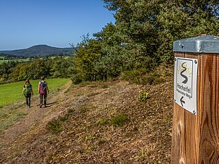
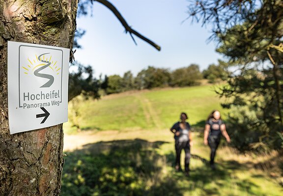
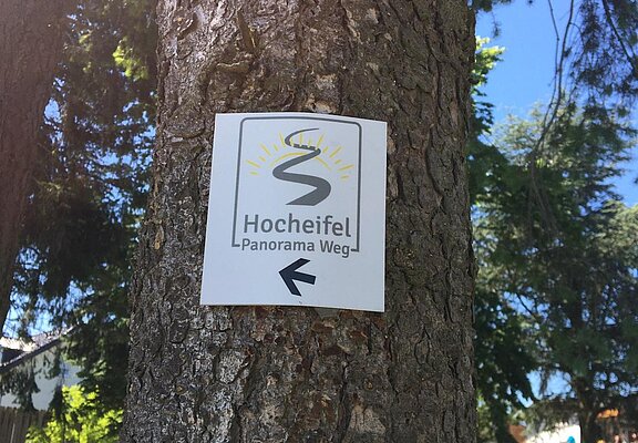
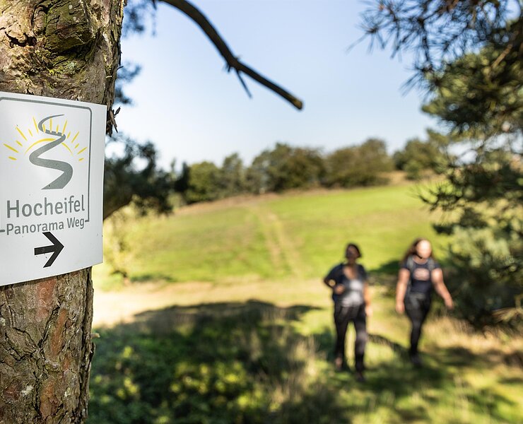
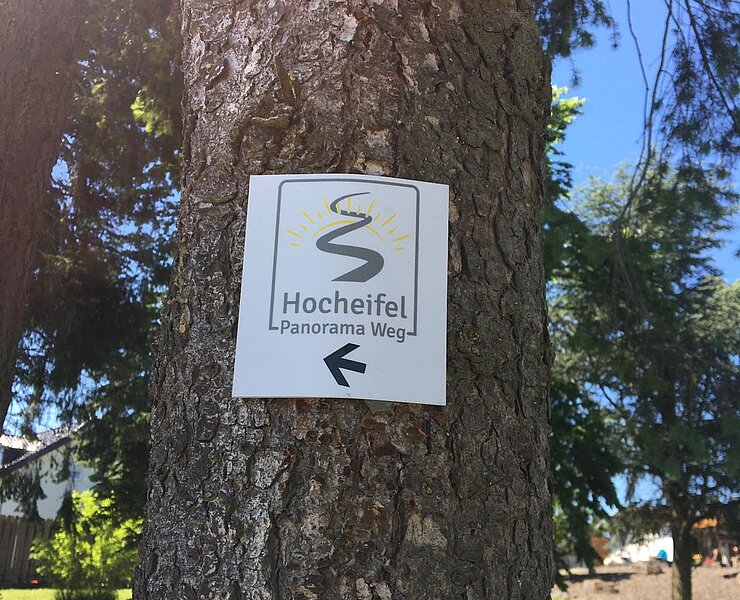
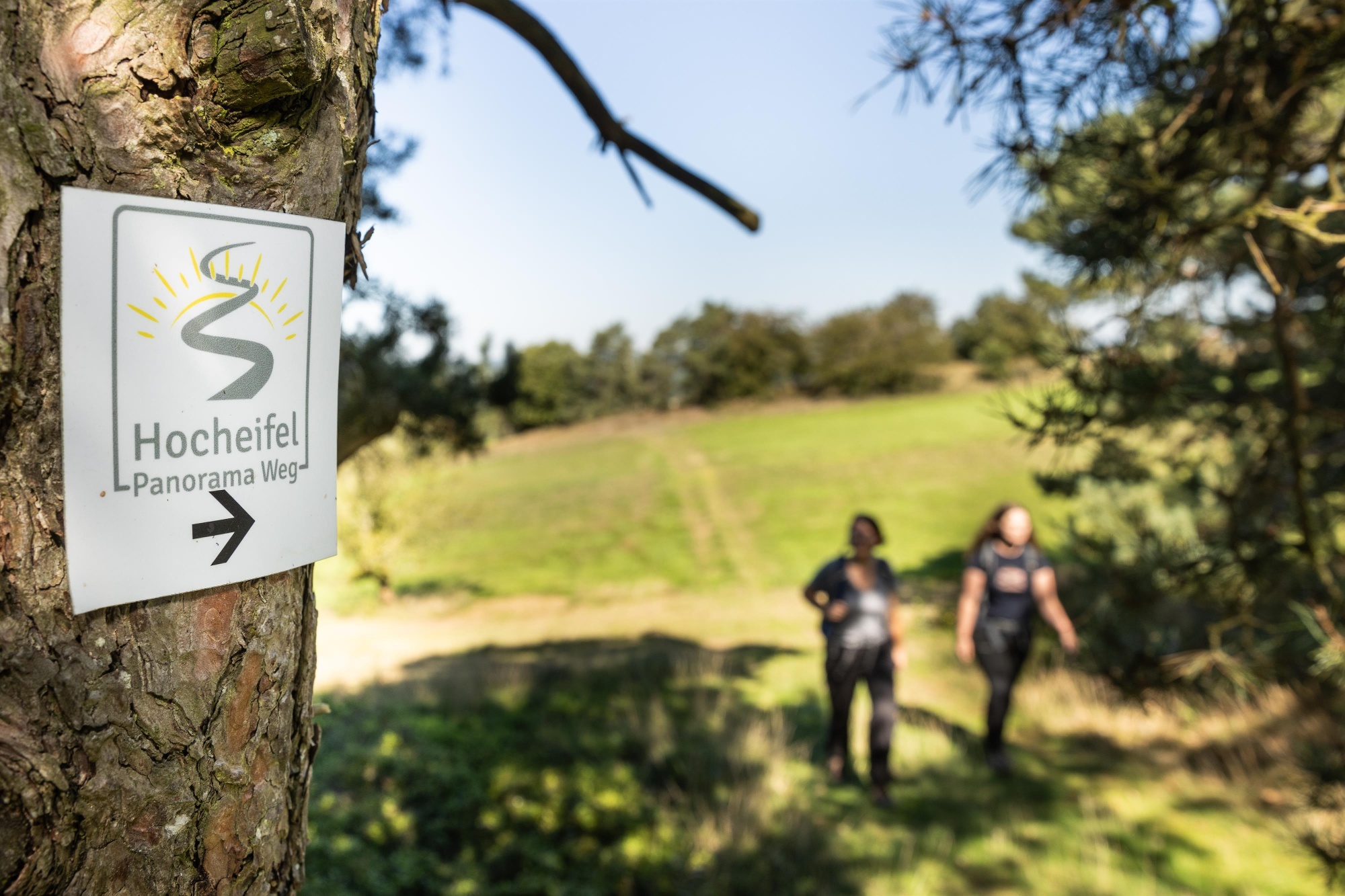
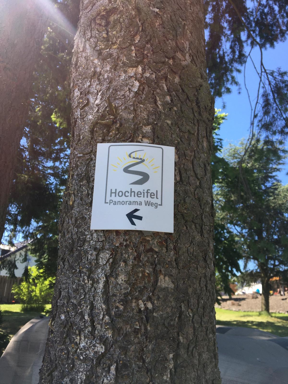
The route is signposted throughout in both directions with the trail logo of the Hocheifel Panorama Trail.
- ZG Vielseitig Aktive (L)
- ZG Aktive Naturgenießer (L)
- ZG Kultur- und Landschaftsliebhaber (L)
- ZG Nur Wanderer (L)
- Route tour
- Hiking trail
- Hiking

source
tourist-information-hocheifel-nuerburgring
·
Author:
Daniela Schmitz / Tourist-Information Hocheifel-Nürburgring