


Wanderweg
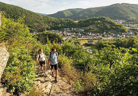
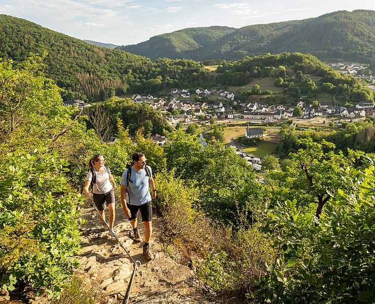
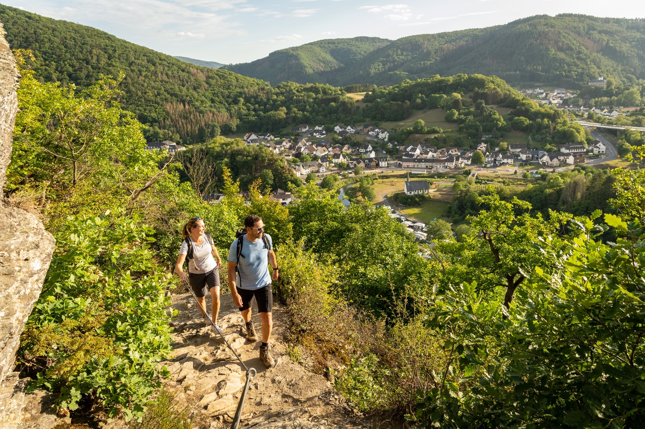
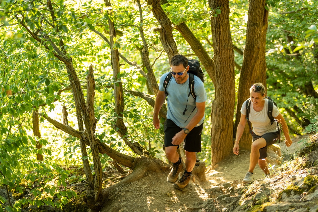
Altenahr summit trail 3 summits-1 path
Altenahr summit trail 3 summits-1 path


More informations
- Round trip
- Hiking trail
- Botanical highlights
- Geological highlights
- Refreshment stop
- promising
- Hiking
Due to flooding, the Ahrtalbahn currently runs from Remagen to Walporzheim, from where a rail replacement service continues to Ahrbrück. More information and current timetables can be found here. (https://www.vrminfo.de)
Public transport
accessible by bus and train/ rail replacement service
Bus 841 from Remagen-Altenahr
Coordinates
DD
50.515950, 6.989760
DMS
50°30'57.4"N 6°59'23.1"E
UTM
32U 357485 5597928
Due to flooding, the Ahr Valley Railway is currently running from Remagen to Walporzheim, from where a rail replacement service continues to Ahrbrück. More information and current timetables can be found here. (https://www.vrminfo.de)
Public transport
Reachable by bus and train/ SEV
Bus 841 from Remagen-Altenahr
Coordinates
DD
50.515950, 6.989760
GMS
50°30'57.4"N 6°59'23.1"E
UTM
32U 357485 5597928
Parking lot at the train station, Altenburger Straße 1, 53505 Altenahr, chargeable (Hotel lang)
Parkplatz am Bahnhof, Altenburger Straße 1, 53505 Altenahr, gebührenpflichtig (Hotel lang)

Ahrtal-Tourismus Bad Neuenahr-Ahrweiler e.V.
·
:
Eva Flügge
