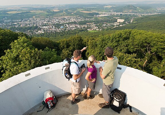

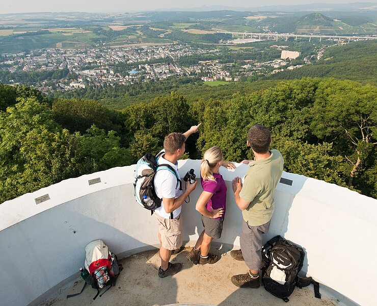
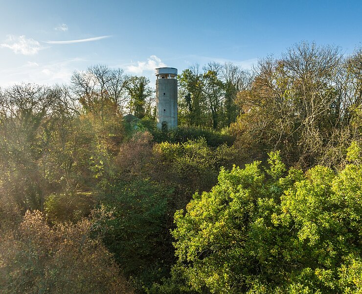
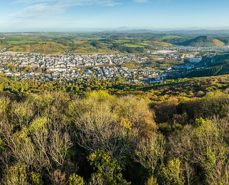
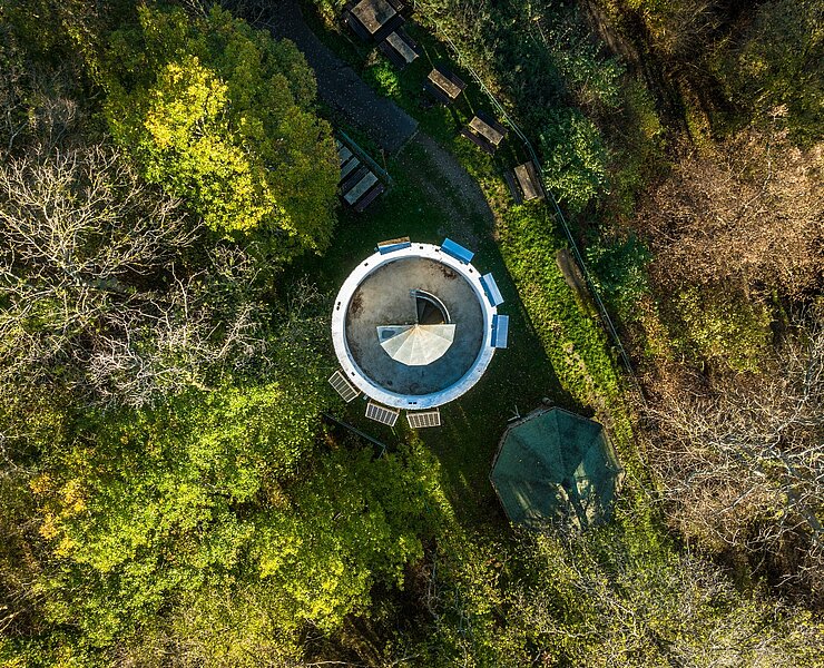
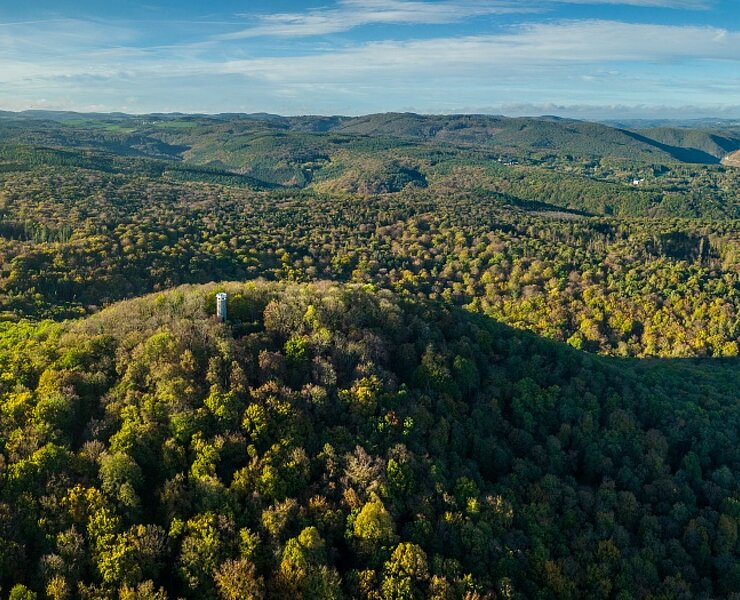
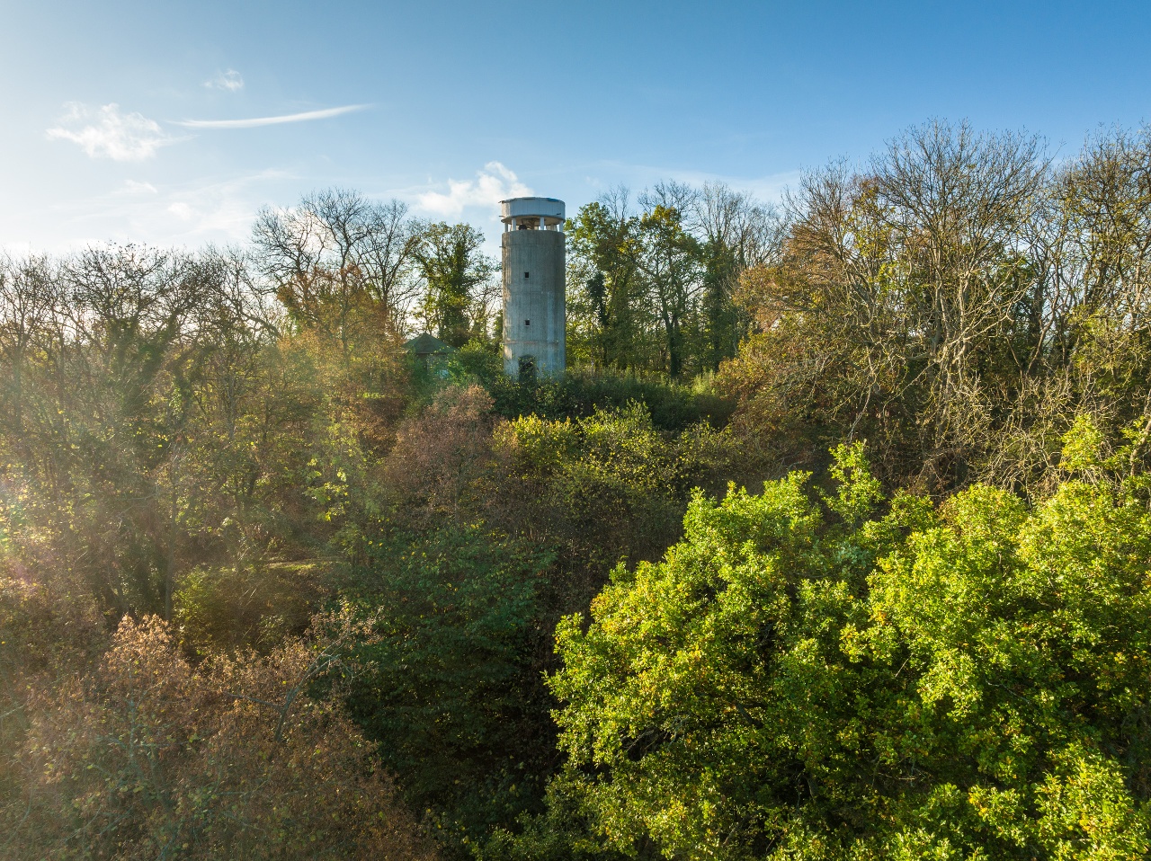
Wanderweg
hard
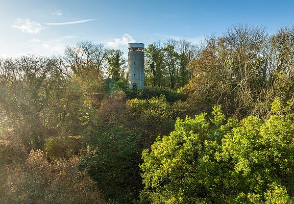
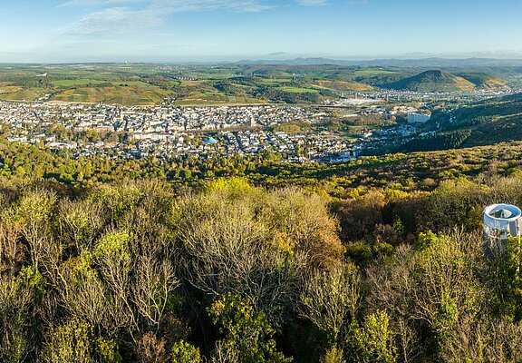
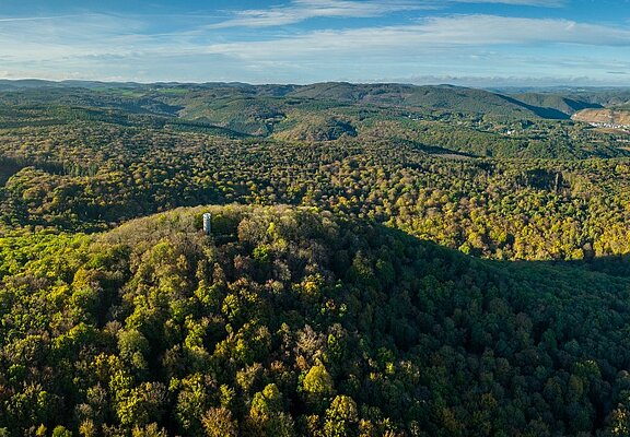
Medical spa trail MK I - red
Duration
2:00 h
Distance
6,8 km
Ascent
242 m
Descent
243 m
Medical spa trail MK I - red
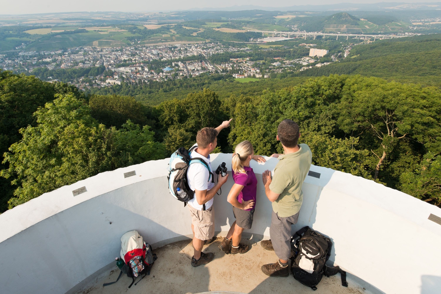
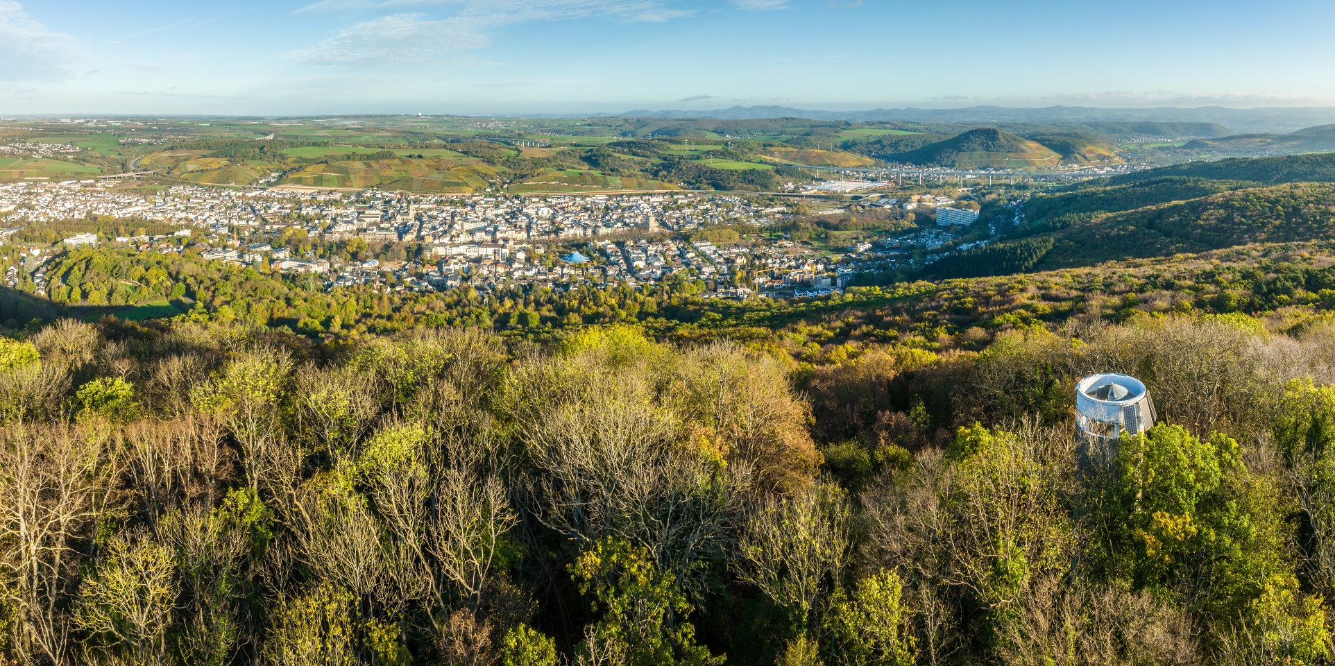
More informations
- Round trip
- Hiking trail
- ZG Vielseitig Aktive (L)
- ZG Aktive Naturgenießer (L)
- ZG Kultur- und Landschaftsliebhaber (L)
- ZG Nur Wanderer (L)
- ZG Städte-Genießer (L)
- Refreshment stop
- Hiking
Ahrtalbahn or bus connection.
There are several paid parking spaces available at the station and in the city.

Ahrtal-Tourismus Bad Neuenahr-Ahrweiler e.V.
·
:
Michelle Harrichhausen
