


Fernwanderweg
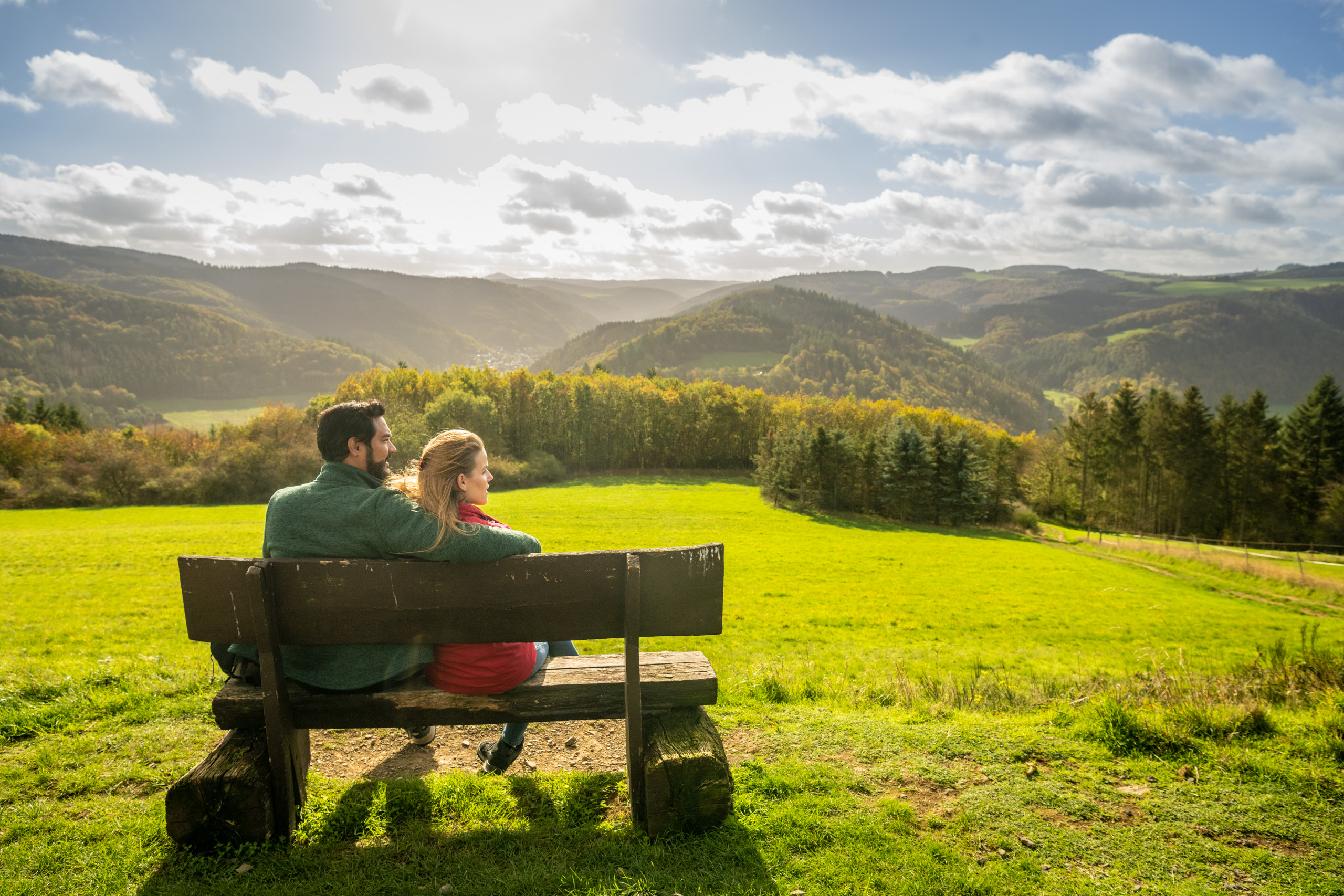
AhrSteig Stage 4: Insul - Kreuzberg (17.4 km)
AhrSteig Stage 4: Insul - Kreuzberg (17.4 km)


More informations
- ZG Vielseitig Aktive (L)
- ZG Aktive Naturgenießer (L)
- ZG Kultur- und Landschaftsliebhaber (L)
- ZG Nur Wanderer (L)
- ZG Städte-Genießer (L)
- Long-distance hiking trail
- Culture highlight
- Botanical highlights
- promising
- Hiking
DB Deutsche Bahn from the direction of Cologne/Bonn or Koblenz to Remagen
- Connection from Remagen via Ahrweiler
Ahrtalbahn: Remagen - Ahrweiler station (daily)
> Connection from Ahrweiler:
Bus line 899 RadWanderBus Upper Ahr Valley (daily from 29.03. - 01.11.): Ahrweiler - Dernau - Altenburg (approx. 1.5 km walk to Kreuzberg) - Ahrbrück - Schuld - Insul - Antweiler - Müsch - Blankenheim - Connection from Remagen via Ahrbrück
SEV rail replacement service: Remagen - Ahrweiler - Altenahr - Kreuzberg - Ahrbrück
> Connection from Ahrbrück:
Bus line 861: Ahrbrück - Liers - Insul - Schuld - Antweiler - Ahrdorf - Ahrhütte - Freilinger See - Blankenheim - Connection from Remagen via Ahrweiler and Adenau
Ahrtalbahn: Remagen - Ahrweiler station (daily)
> Connection from Ahrweiler via Adenau:
Bus line 860: Ahrweiler - Dernau - Ahrbrück - Dümpelfeld - Adenau - Nürburgring - Kelberg
>> Connection from Adenau:
Bus line 865: Adenau - Leimbach - Dümpelfeld - Insul - Schuld - Laufenbacher Hof - Wershofen
- Connection from Blankenheim:
Bus line 861: Blankenheim - Freilinger See - Müsch - Antweiler - Schuld - Insul - Dümpelfeld - Liers - Ahrbrück (daily)
Bus line 899 RadWanderBus Upper Ahr Valley (daily from 29.03. - 01.11.): Blankenheim - Müsch - Antweiler - Schuld - Insul - Ahrbrück - Altenburg (approx. 1.5 km walk to Kreuzberg) - Dernau - Ahrweiler
Current timetable information at https://www.bahn.de and https://www.vrminfo.de
Insul: Hiker parking lot at the Ahr bridge, Brückenstr. 11 (opposite the playground), 53520 Insul
Kreuzberg: At the train station
Hikers' car park at the cemetery in Schuld, at the sports field in Insul

Ahrtal-Tourismus Bad Neuenahr-Ahrweiler e.V.
·
:
Hans-Joachim Schneider
